Interactive Harbor Map
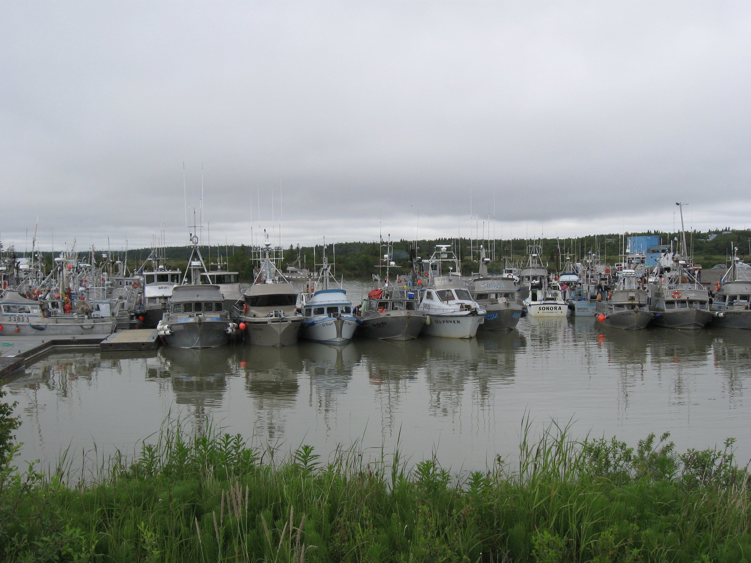
The following map shows marine facilities in Alaska and is intended to help boaters locate our certified harbors and provides a link to the facility website or city government which manages them. Certified clean harbors have shown a commitment to meeting the needs of their customers and their communities through improved waste handling and environmentally sound management practices. As a boater, choosing to visit and support a certified harbor is a way to invest in the stewardship of marine resources in our Alaskan communities.
To access the map legend and harbor directory, click on the slider button on the upper left corner of the bar on the top of the map. To expand the map into another window for full screen viewing, click on the upper right corner of the map and it will open in a new screen.
We want to hear from you!
We aim to provide up to date information through ongoing communication with harbors around the state, but also rely on the help of harbor staff and boaters to keep us informed on changes. If you encounter information which is inaccurate or missing, please reach out to us and we will update our map to reflect current conditions. Thank you for your help in creating a resource for visitors and locals to safely explore and enjoy our coastal communities!